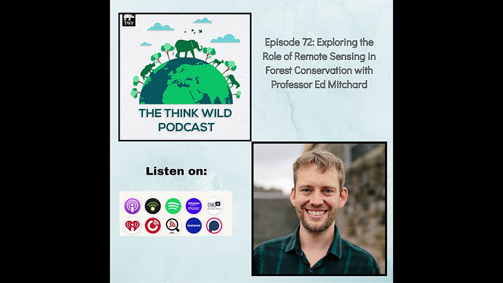
In a previous episode of The Think Wildlife Podcast, we briefly touched upon the role of artificial intelligence and biacoustic monitoring in wildlife conservation. On a similar note, in this episode, I interview Professor Ed Mitchard, to discuss the role of remote sensing in forest conservation Through the use of satellites, remote Sensing allows for the observation and accurate imaging of the earth’s surface. This is particularly useful for forest research and monitoring as stakeholders can monitor land-use change, estimate a forest carbon stock, detect forest fires, and report upon other key forest indicators.
Professor Mitchard is one of the leading remote sensing scientists, with over 60 peer-reviewed publications on the topic. He has also advised the governments of the UK, Cameroon, Columbia, and Gabon on land use monitoring techniques. He is also the co-founder and chief scientist of Space Intelligence. The start-up aims to utilize high-quality nature data and digital monitoring systems to achieve zero deforestation and mass restoration and tackle the climate emergency.






Share this post